Corfu (Greek: Κέρκυρα, Kérkyra, [ˈcercira]; Ancient Greek: Κέρκυρα or Κόρκυρα; Latin: Corcyra; Italian: Corfù) is a Greek island in the Ionian Sea. It is the second largest of the Ionian Islands, and, including its small satellite islands, forms the edge of the northwestern frontier of Greece. The island is part of the Corfu regional unit, and is administered as a single municipality. The municipality includes the island Corfu and the smaller islands Ereikoussa, Mathraki and Othonoi. The principal city of the island and seat of the municipality (pop. 32,095) is also named Corfu. Corfu is home to the Ionian University.
The island is bound with the history of Greece from the beginning of Greek mythology. Its Greek name, Kerkyra or Korkyra, is related to two powerful water symbols: Poseidon, god of the sea, and Asopos, an important Greek mainland river. According to myth, Poseidon fell in love with the beautiful nymph Korkyra, daughter of Asopus and river nymph Metope, and abducted her. Poseidon brought Korkyra to the hitherto unnamed island and, in marital bliss, offered her name to the place: Korkyra, which gradually evolved to Kerkyra (Doric). Together, they had a child they called Phaiax, after whom the inhabitants of the island were named: Phaiakes. This term was transliterated via Latin to Phaeacians. Corfu's nickname is The island of the Phaeacians.
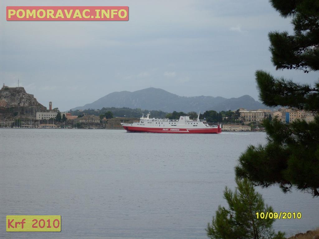
The island's history is laden with battles and conquests. The legacy of these struggles is visible in the form of castles punctuating strategic locations across the island. Two of these castles enclose its capital, which is the only city in Greece to be surrounded in such a way. As a result, Corfu's capital has been officially declared a Kastropolis ("castle city") by the Greek government. From medieval times and into the 17th century, the island was recognised as a bulwark of the European States against the Ottoman Empire and became one of the most fortified places in Europe. The fortifications of the island were used by the Venetians to defend against Ottoman intrusion into the Adriatic. Corfu repulsed several Turkish sieges, before falling under British rule following the Napoleonic Wars. Corfu was eventually ceded by the British Empire along with the remaining islands of the United States of the Ionian Islands, and unification with modern Greece was concluded in 1864 under the Treaty of London.
In 2007, the city's old city was designated for the UNESCO World Heritage List, following a recommendation by ICOMOS.
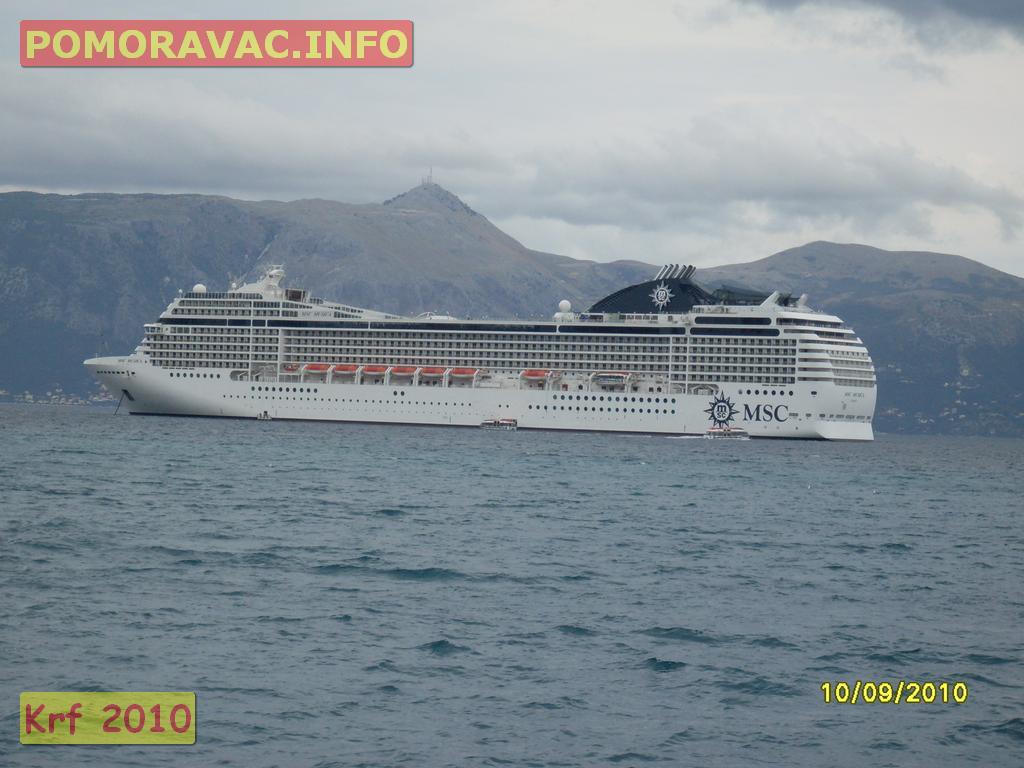
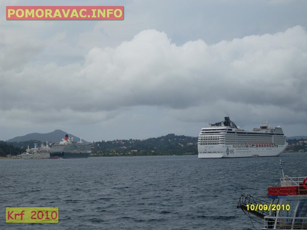
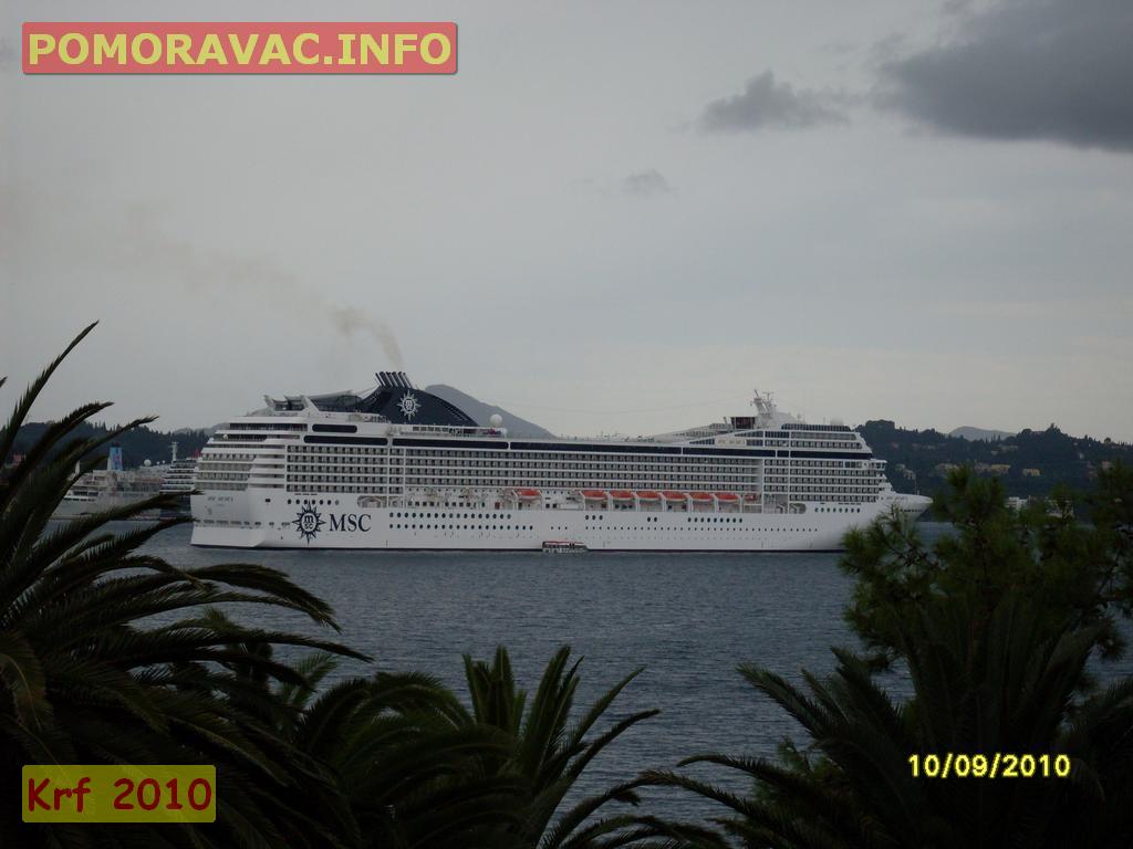
Corfu is a very popular tourist destination. The island was the location of the 1994 European Union summit.
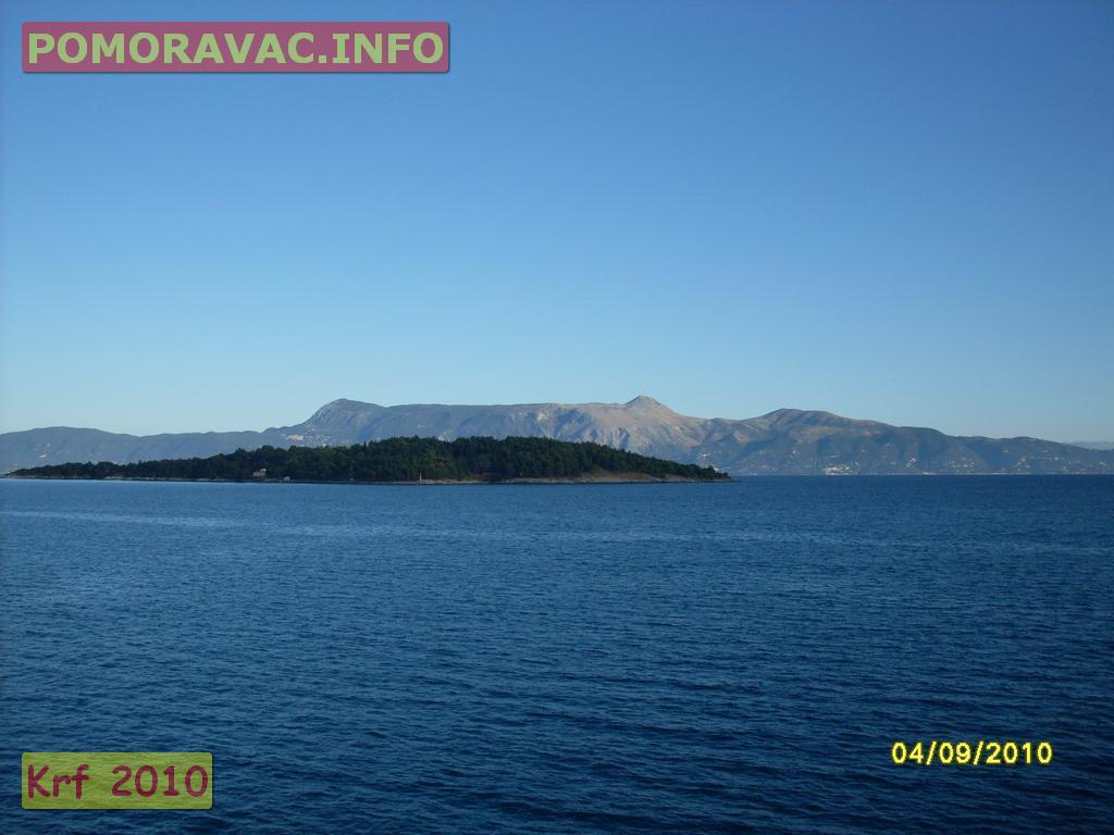
The north-eastern coastline of Corfu lies off the coast of Sarandë, Albania, from which it is separated by straits varying in width from 3 to 23 km (2 to 14 miles), while the south-east side of the island lies off the coast of Thesprotia, Greece. The name "Corfu", an Italian version of the Byzantine Κορυφώ (Koryphō), meaning "city of the peaks", derives from the Greek Κορυφαί (Koryphai) (crests or peaks), denoting the two peaks of Palaio Frourio. In shape it is like the sickle (drepanē, δρεπάνι), to which it was compared by the ancients: the concave side, with the city and harbour of Corfu in the centre, lies toward the Albanian coast. With the island's area estimated at 588 km2 (227 sq mi), it runs approximately 64 km (40 mi) long, with greatest breadth at around 32 km (20 mi).
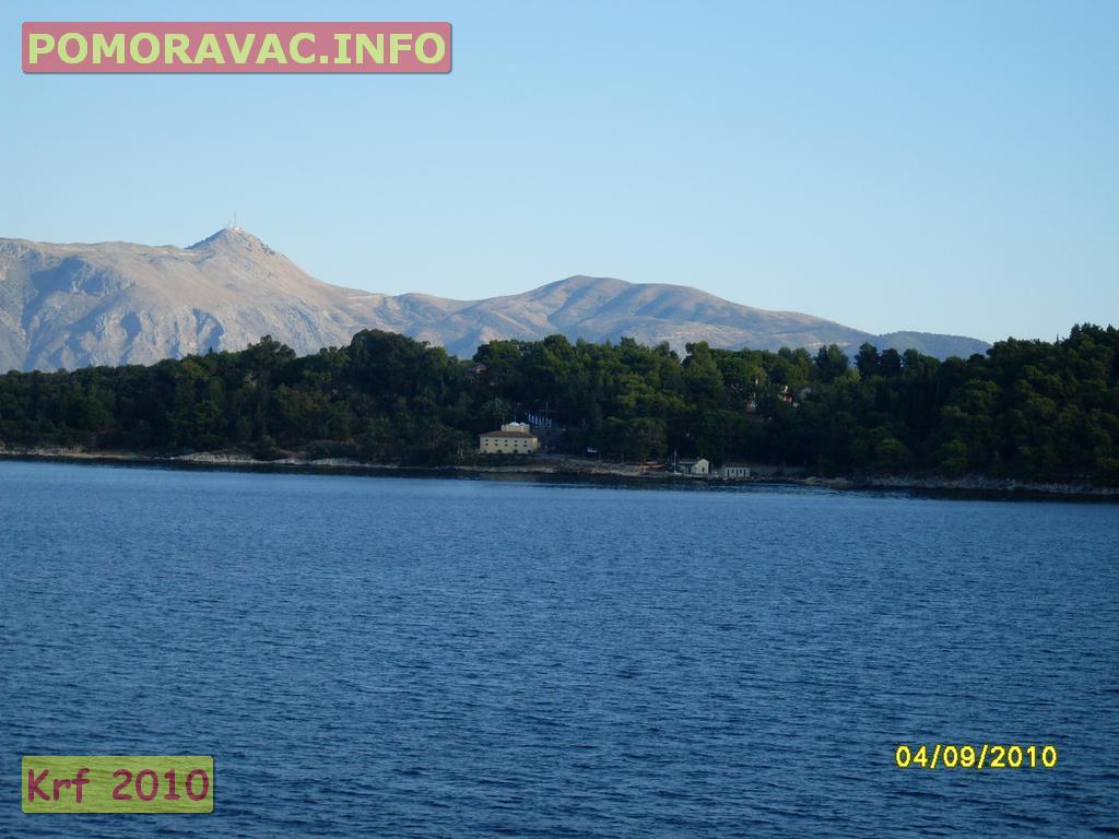
Two high and well-defined ranges divide the island into three districts, of which the northern is mountainous, the central undulating, and the southern low-lying. The more important of the two ranges, that of Pantokrator (Παντοκράτωρ – the ancient Istone) stretches east and west from Cape Falacro to Cape Psaromita, and attains its greatest elevation in the summit of the same name.
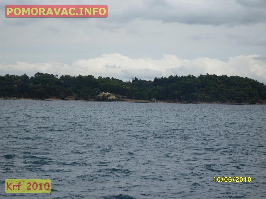
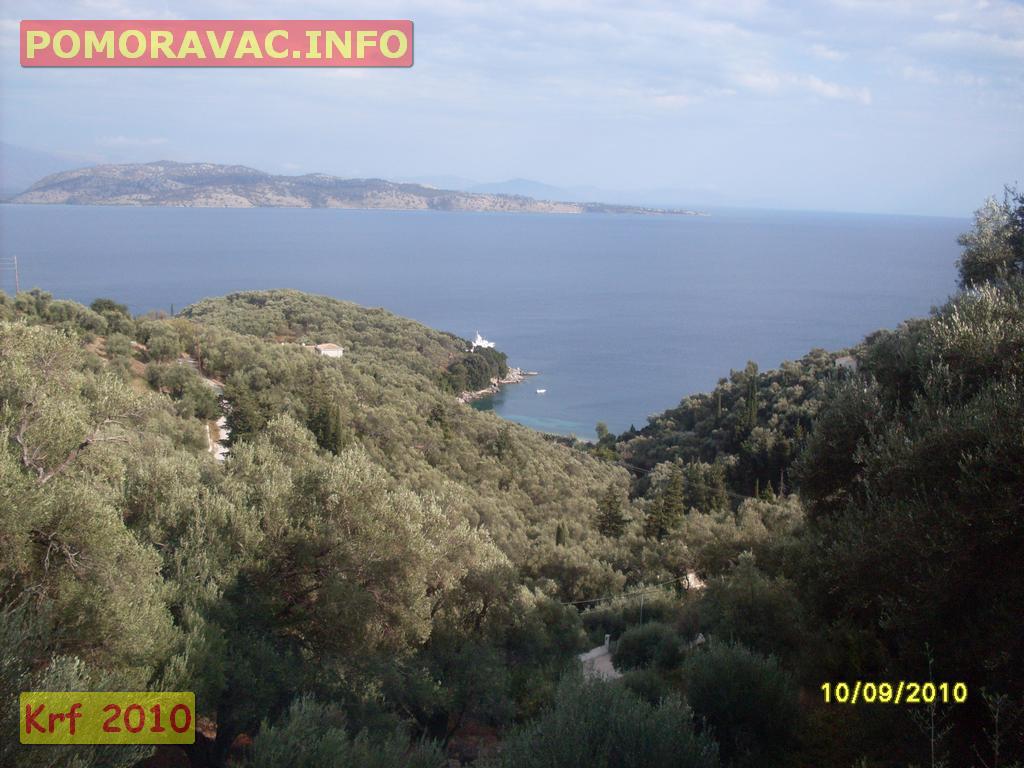
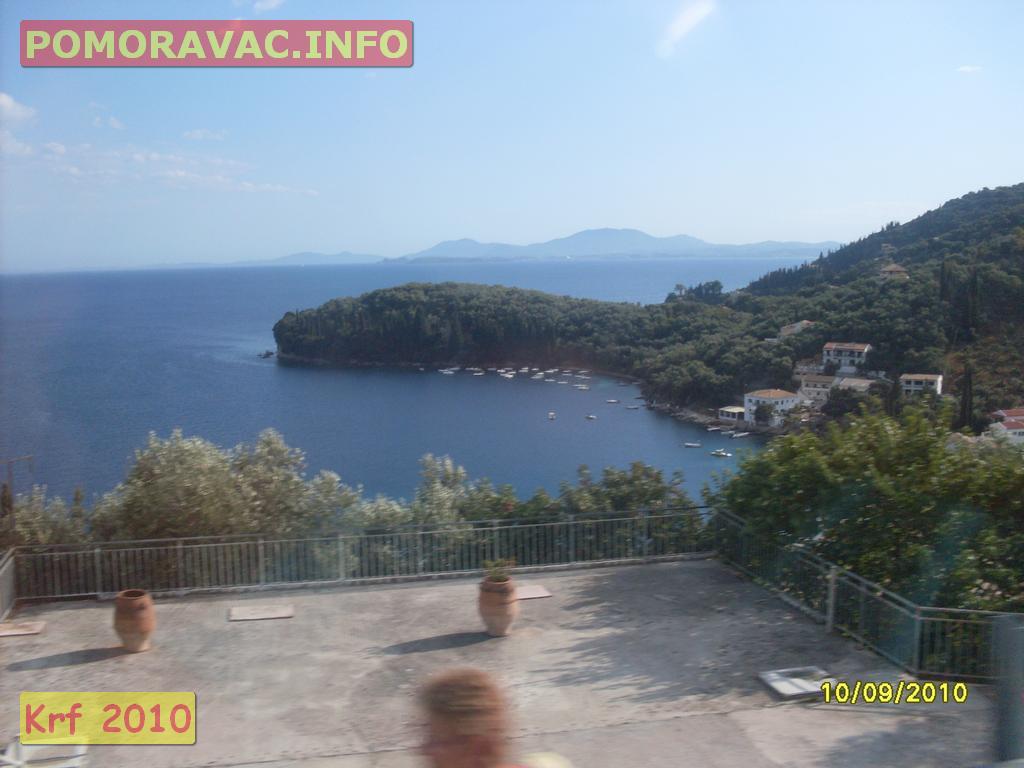
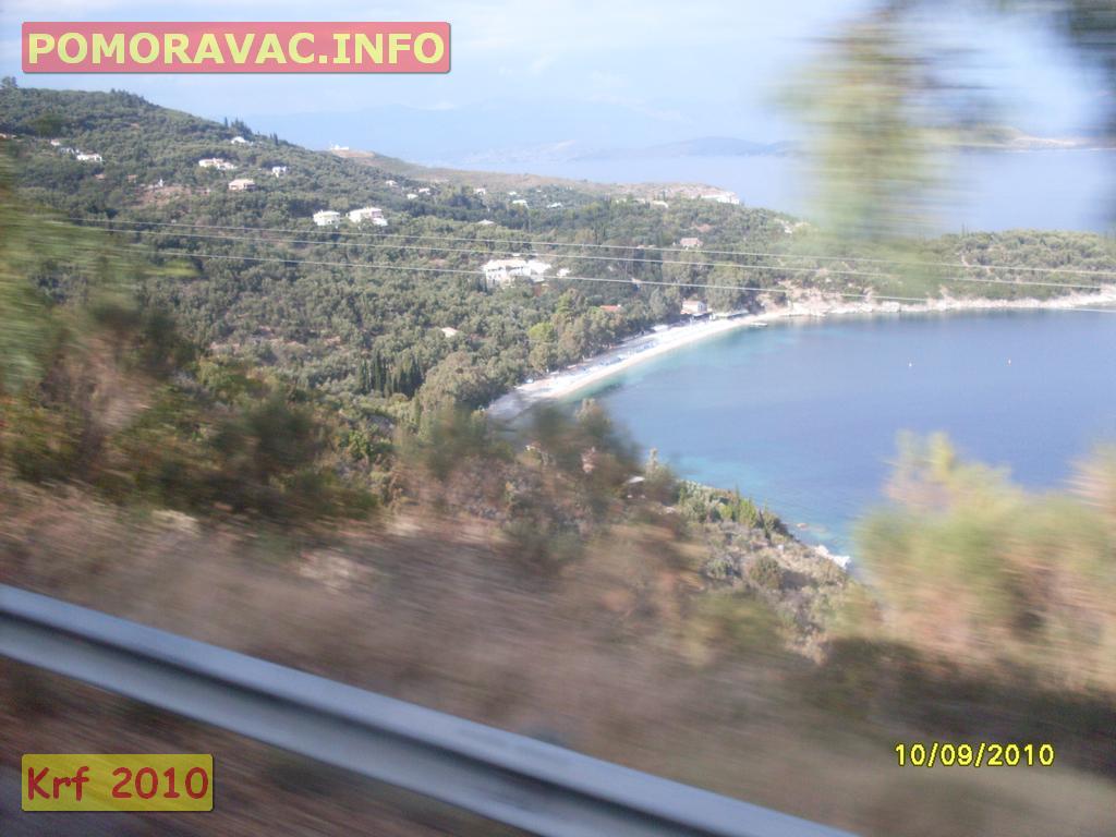
The second range culminates in the mountain of Santi Jeca, or Santa Decca, as it is called by misinterpretation of the Greek designation Άγιοι Δέκα (Hagioi Deka), or the Ten Saints. The whole island, composed as it is of various limestone formations, presents great diversity of surface, and views from more elevated spots are magnificent. Beaches are found in Agios Gordis, the Korission lagoon, Agios Georgios, Marathia, Kassiopi, Sidari, Palaiokastritsa and many others. Corfu is located near the Kefalonia geological fault formation; earthquakes have occurred. Neither Corfu city or the countryside of the island have lost their traditional architecture hailing from the 16th century.
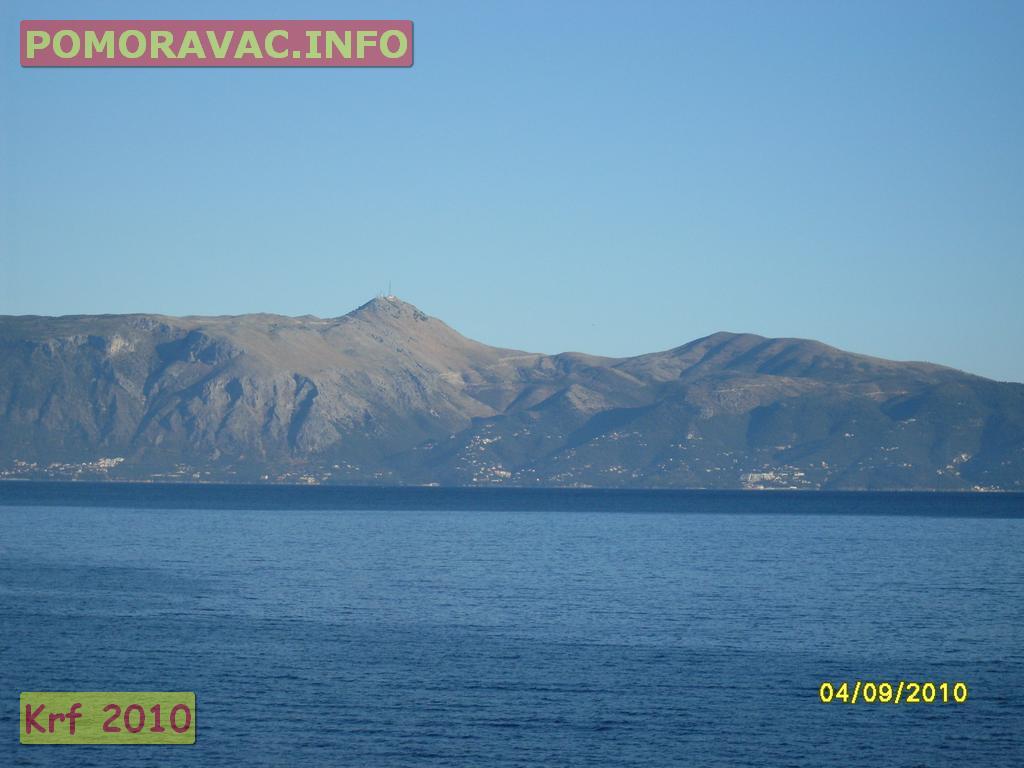
Corfu's coastline spans 217 kilometres (135 mi) including capes; its highest point is Mount Pantokrator (911 metres (2,989 ft)); and the second Stravoskiadi, at 849 metres (2,785 ft). The full extent of capes and promontories take in Agia Aikaterini, Drastis to the north, Lefkimmi and Asprokavos to the southeast, and Megachoro to the south. Two islands are also to be found at a middle point of Gouvia and Corfu Bay, which extends across much of the eastern shore of the island; are known as Lazareto and Ptychia (or Vido). Camping areas can be found in Palaiokastritsa, Agrillia, with four in the northern part, Pyrgi, Roda, Gouvia and Messonghi.
Othonoi and Ereikoussa
Othonoi (Οθωνοί) is the westernmost settlement and island in all Greece; Ereikoussa is the northernmost of the Ionian Islands.
Lazaretto Island
Lazaretto Island, formerly known as Aghios Dimitrios, is located two nautical miles northeast of Corfu; the island has an area of 17.5 acres and comes under the administration of the Greek National Tourist Organization. During Venetian rule in the early 16th century, a monastery was built on the islet and a leprosarium established later in the century, after which the island was named. In 1798, during the French occupation, the islet was occupied by the Russo-Turkish fleet, who ran it as a military hospital. During the British occupation, in 1814, the leprosarium was once again opened after renovations, and following Enosis in 1864 the leprosarium again saw occasional use. During World War II, the Axis Occupation of Greece established a concentration camp there for the prisoners of the Greek Resistance movement, while remaining today are the two-storied building that served as the Headquarters of the Italian army, a small church, and the wall against which those condemned to death were shot.
Homer identifies seven plants that adorn the garden of Alcinous: wild olive, pear, pomegranate, apple, fig and grape vine. Of these the apple and the pear are (as of 2011) very inferior[citation needed] in Corfu; the others thrive, together with all the fruit trees known in southern Europe, with addition of the kumquat, loquat and prickly pear and, in some spots, the banana. When undisturbed by cultivation, the myrtle, arbutus, bay and holm oak form a rich brushwood, along with fir and Turkey oak in the hills. The minor flora of the island are extensive.
During the First World War, the island served as a refuge for the Serbian army that retreated there on Allied forces' ships from a homeland occupied by the Austrians, Germans and Bulgarians. During their stay, a large portion of Serbian soldiers died from exhaustion, food shortage, and various diseases. Most of their remains were buried at sea near the island of Vido, a small island at the mouth of Corfu port, and a monument of thanks to the Greek nation has been erected at Vido by the grateful Serbs; consequently, the waters around Vido Island are known by the Serbian people as the Blue Graveyard (in Serbian, Плава Гробница, Plava Grobnica), after a poem written by Milutin Bojić following World War I.
wikipedia
The island is bound with the history of Greece from the beginning of Greek mythology. Its Greek name, Kerkyra or Korkyra, is related to two powerful water symbols: Poseidon, god of the sea, and Asopos, an important Greek mainland river. According to myth, Poseidon fell in love with the beautiful nymph Korkyra, daughter of Asopus and river nymph Metope, and abducted her. Poseidon brought Korkyra to the hitherto unnamed island and, in marital bliss, offered her name to the place: Korkyra, which gradually evolved to Kerkyra (Doric). Together, they had a child they called Phaiax, after whom the inhabitants of the island were named: Phaiakes. This term was transliterated via Latin to Phaeacians. Corfu's nickname is The island of the Phaeacians.
The island's history is laden with battles and conquests. The legacy of these struggles is visible in the form of castles punctuating strategic locations across the island. Two of these castles enclose its capital, which is the only city in Greece to be surrounded in such a way. As a result, Corfu's capital has been officially declared a Kastropolis ("castle city") by the Greek government. From medieval times and into the 17th century, the island was recognised as a bulwark of the European States against the Ottoman Empire and became one of the most fortified places in Europe. The fortifications of the island were used by the Venetians to defend against Ottoman intrusion into the Adriatic. Corfu repulsed several Turkish sieges, before falling under British rule following the Napoleonic Wars. Corfu was eventually ceded by the British Empire along with the remaining islands of the United States of the Ionian Islands, and unification with modern Greece was concluded in 1864 under the Treaty of London.
In 2007, the city's old city was designated for the UNESCO World Heritage List, following a recommendation by ICOMOS.
Corfu is a very popular tourist destination. The island was the location of the 1994 European Union summit.
The north-eastern coastline of Corfu lies off the coast of Sarandë, Albania, from which it is separated by straits varying in width from 3 to 23 km (2 to 14 miles), while the south-east side of the island lies off the coast of Thesprotia, Greece. The name "Corfu", an Italian version of the Byzantine Κορυφώ (Koryphō), meaning "city of the peaks", derives from the Greek Κορυφαί (Koryphai) (crests or peaks), denoting the two peaks of Palaio Frourio. In shape it is like the sickle (drepanē, δρεπάνι), to which it was compared by the ancients: the concave side, with the city and harbour of Corfu in the centre, lies toward the Albanian coast. With the island's area estimated at 588 km2 (227 sq mi), it runs approximately 64 km (40 mi) long, with greatest breadth at around 32 km (20 mi).
Two high and well-defined ranges divide the island into three districts, of which the northern is mountainous, the central undulating, and the southern low-lying. The more important of the two ranges, that of Pantokrator (Παντοκράτωρ – the ancient Istone) stretches east and west from Cape Falacro to Cape Psaromita, and attains its greatest elevation in the summit of the same name.
The second range culminates in the mountain of Santi Jeca, or Santa Decca, as it is called by misinterpretation of the Greek designation Άγιοι Δέκα (Hagioi Deka), or the Ten Saints. The whole island, composed as it is of various limestone formations, presents great diversity of surface, and views from more elevated spots are magnificent. Beaches are found in Agios Gordis, the Korission lagoon, Agios Georgios, Marathia, Kassiopi, Sidari, Palaiokastritsa and many others. Corfu is located near the Kefalonia geological fault formation; earthquakes have occurred. Neither Corfu city or the countryside of the island have lost their traditional architecture hailing from the 16th century.
Corfu's coastline spans 217 kilometres (135 mi) including capes; its highest point is Mount Pantokrator (911 metres (2,989 ft)); and the second Stravoskiadi, at 849 metres (2,785 ft). The full extent of capes and promontories take in Agia Aikaterini, Drastis to the north, Lefkimmi and Asprokavos to the southeast, and Megachoro to the south. Two islands are also to be found at a middle point of Gouvia and Corfu Bay, which extends across much of the eastern shore of the island; are known as Lazareto and Ptychia (or Vido). Camping areas can be found in Palaiokastritsa, Agrillia, with four in the northern part, Pyrgi, Roda, Gouvia and Messonghi.
Othonoi and Ereikoussa
Othonoi (Οθωνοί) is the westernmost settlement and island in all Greece; Ereikoussa is the northernmost of the Ionian Islands.
Lazaretto Island
Lazaretto Island, formerly known as Aghios Dimitrios, is located two nautical miles northeast of Corfu; the island has an area of 17.5 acres and comes under the administration of the Greek National Tourist Organization. During Venetian rule in the early 16th century, a monastery was built on the islet and a leprosarium established later in the century, after which the island was named. In 1798, during the French occupation, the islet was occupied by the Russo-Turkish fleet, who ran it as a military hospital. During the British occupation, in 1814, the leprosarium was once again opened after renovations, and following Enosis in 1864 the leprosarium again saw occasional use. During World War II, the Axis Occupation of Greece established a concentration camp there for the prisoners of the Greek Resistance movement, while remaining today are the two-storied building that served as the Headquarters of the Italian army, a small church, and the wall against which those condemned to death were shot.
Homer identifies seven plants that adorn the garden of Alcinous: wild olive, pear, pomegranate, apple, fig and grape vine. Of these the apple and the pear are (as of 2011) very inferior[citation needed] in Corfu; the others thrive, together with all the fruit trees known in southern Europe, with addition of the kumquat, loquat and prickly pear and, in some spots, the banana. When undisturbed by cultivation, the myrtle, arbutus, bay and holm oak form a rich brushwood, along with fir and Turkey oak in the hills. The minor flora of the island are extensive.
During the First World War, the island served as a refuge for the Serbian army that retreated there on Allied forces' ships from a homeland occupied by the Austrians, Germans and Bulgarians. During their stay, a large portion of Serbian soldiers died from exhaustion, food shortage, and various diseases. Most of their remains were buried at sea near the island of Vido, a small island at the mouth of Corfu port, and a monument of thanks to the Greek nation has been erected at Vido by the grateful Serbs; consequently, the waters around Vido Island are known by the Serbian people as the Blue Graveyard (in Serbian, Плава Гробница, Plava Grobnica), after a poem written by Milutin Bojić following World War I.
wikipedia


serbia , greece , corfu , kerkyra , holiday , Greek island , Ionian Sea , tourist destination , Mount Pantokrator , Lazaretto Island
Corfu (Corfu island - Greece) (Greek: Κέρκυρα, Kérkyra, [ˈcercira]; Ancient Greek: Κέρκυρα or Κόρκυρα; Latin: Corcyra; Italian: Corfù) is a Greek island in the Ionian Sea. It is the second largest of the Ionian Islands, and, including its small satellite islands, forms the edge of the northwestern frontier of Greece. ...
чћшђж